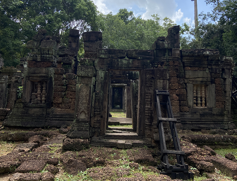
About Krol Ko
There are few historical data about Preah Khan Kompong Svay. French scholars argued it had been founded in the 11th century, probably by Suryavarman I It was a royal residence during the kingdom of Suryavarman II and even Jayavarman VII lived here, before recapturing the capital city of Yasodharapura from invading Chams in 1181, and improved the complex. Krol Ko at Angkor, Cambodia, is a Buddhist temple built at the end of the 12th century under the rule of Jayavarman VII, in his Bayon architectural style.[1] It is north of Neak Pean. The name 'Krol Ko' is a modern term meaning 'The Park of the Oxen' and likely has no connection to its historical use.[1] While speculative, it may have served as a chapel at a hospital site, as its layout is identical to the four hospital chapels found outside Angkor Thom (the 'Chapel of the Hospital' to the east, Ta Prohm Kel to the south, Tonle Sgnout to the north, and another site now in ruins to the west). Placement of a hospital close to Neak Pean would have made sense as Neak Pean was constructed as a representation of the waters of the mythical lake Anavatapta, which were thought to help the attainment of salvation amongst those deceased.[2] Seven of the temple pediments at Krol Ko feature Lokeshvara, a boddhisattva who, in Khmer Buddhist belief, was entrusted with healing powers.[3] Lokeshvara is commonly associated with hospitals. 360 Degree